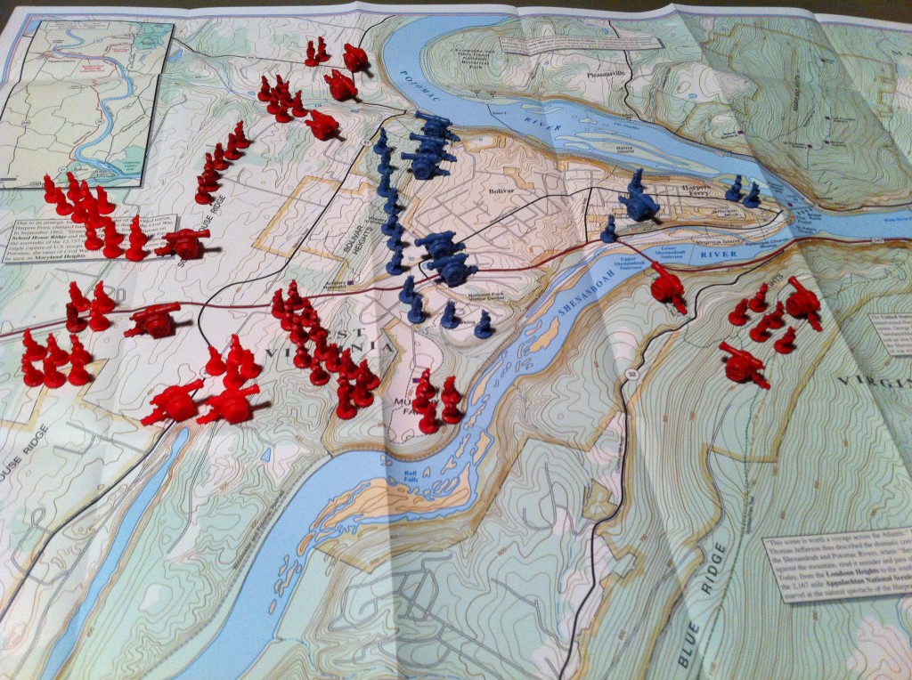
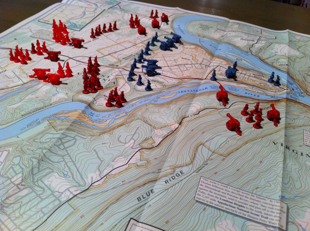
I am always searching for different way to communicate battle actions to friends and family when I take them on tours. Naturally, using RISK pieces to indicate the troop positions during the Siege of Harpers Ferry (September 12-15, 1862) seemed like a good idea.
I used the TrailHead Graphics’ Across the Potomac map and based the placement on Civil War Trust’s official map.
Unfortunately, there are several problems. First, the RISK infantry pieces are a decent size, but the cannons are too large. As a result, one cannon has to represent multiple batteries. This diminishes the usefulness of the representation for most people. Second, I ran out of infantry pieces for this small map and I had to whip out the backup RISK board. I can only imagine if I tried a larger battle like Antietam or Gettysburg.
Finally, placing the troops takes time and a lot of care. With the map not naturally lying entirely flat, I had issues getting the pieces to sit in the appropriate spots. Although it looks cool, I will not attempt this again.


