Winston Churchill described the Battle of New Orleans (1815) as the “most irresponsible British onslaught” and “one of the most unintelligent maneuvers in the history of British warfare.” ((Winston S. Churchill, The Age of Revolution, A History of the English-Speaking Peoples 3 (Toronto: Bantan Books, 1957), 296, 297.)) The battle was a classic, horrific march of infantry across an open field into well-entrenched guns. The Americans inflicted over 2,000 casualties on the British while suffering only 71 themselves. ((Numbers always vary on this stuff, but most estimates are in this range. These numbers came from Micheal Clodfelter, Warfare and Armed Conflicts: A Statistical Encyclopedia of Casualty and Other Figures, 1494-2007, 3rd ed. (Jefferson: McFarland & Company, 2007), 262.)) Before Pickett’s Charge at Gettysburg, there was the Battle of New Orleans.
Andrew Jackson commanded one of the most unique armies in American history with his ranks consisting of not only US infantry, marines, artillery and sailors, but also pirates, free blacks, Choctaw Indians, and militia from Tennessee, Kentucky, and Louisiana. To understand how Jackson was able to lead such a group to victory over British commanders and soldiers fresh from victories in the Napoleonic Wars, you have to visit the Chalmette battlefield where the Battle of New Orleans took place.
Here is what you can expect if you visited Chalmette today.
Getting to the battlefield from New Orleans is quick and painless. Depending on traffic, it is roughly a 15 to 30 minute drive. Two days in a row, I encountered a train on St Claude Ave, but each finished passing within 10 minutes.
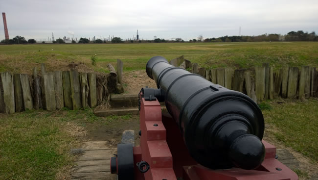
When driving onto the battlefield, the first thing you will notice is the rampart stringing from north to south of the battlefield, sprinkled with cannons, all of which are recreations.
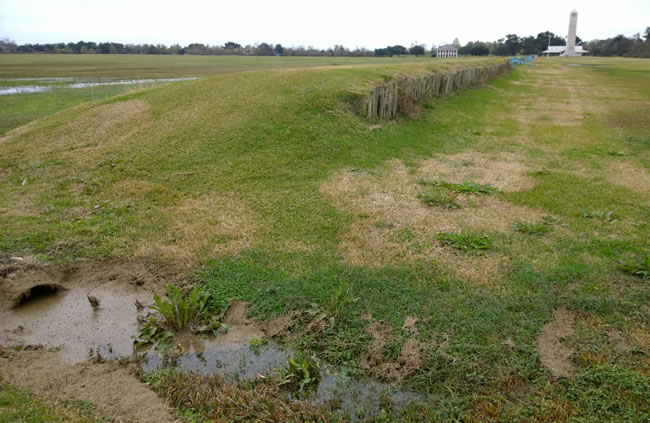
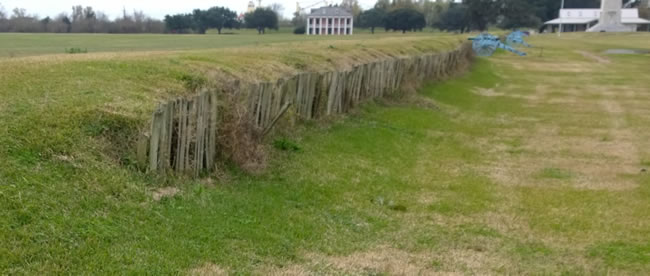
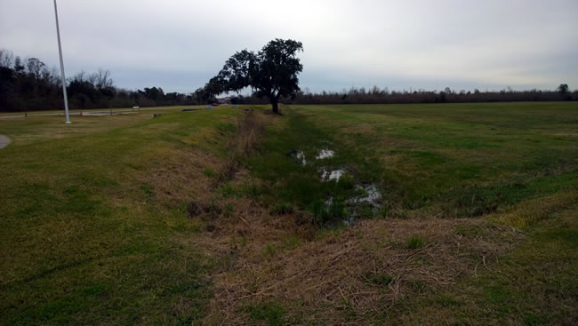
At first glance, the battlefield appears to be a simple, flat rectangle. However, you should center your understanding of the field around the Rodriguez Canal, which is on the east side of the rampart. Although the rampart is a reconstruction, the canal is original and runs the length of the battlefield, north to south.
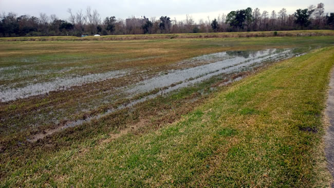
The canal and rampart mark the American defensive line during the battle, which connected with the Mississippi River to the south and the Cypress swamp to the north, the latter of which is lost to development. Although the canal is far from its original 7’ deep, 15’ wide glory during the battle, you can still see it. When it rains, it fills up with water.
Here is a shot of the canal on the north side, looking south.
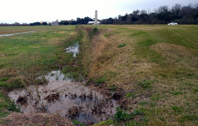
Here is a shot of the canal on the south side, looking north.
The placement of cannons along the rampart is completely arbitrary and there was no attempt to match their original locations. However, the markers along the rampart provide accurate detail on who occupied each position along with which cannons we believe were there.
This is a view from roughly the center of the American line where sailors from the USS Carolina and free black men operated a 32-pounder naval cannon. The cannon pictured is a 24-pounder.
Toward the south end of the rampart and canal are the giant monument, new visitor center, and nineteenth-century house. Again, all of these were built or placed after the battle. We will return to the visitor later.
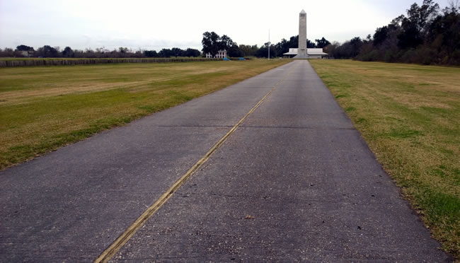
The park has a superb road that is worth walking (not driving!) to give the visitor a chance to walk in the footsteps of the British as they marched across the field. If you arrived by car, I recommend starting from the visitor center, taking the path to the east and looping back around. This is the quickest way to cover most of the battlefield.
On the south end of the field, facing to the west, you will see the same view as the 93rd Highlanders when they were roughly 240 yards from the American defenses.
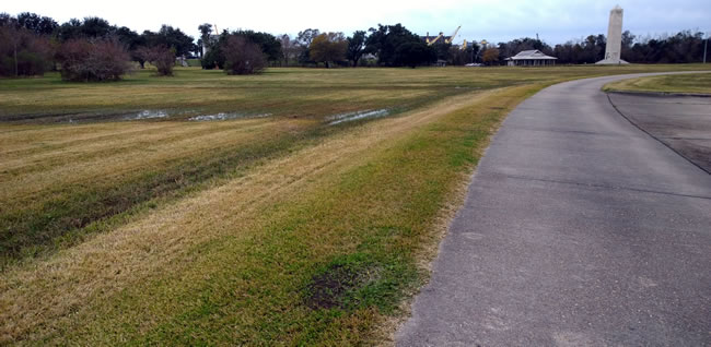
However, instead of continuing forward, the Highlanders received an order to change directions and head to the northwest spot of the American line to help with the assault there. Thus, they marched 500 yards diagonally across this field, exposing themselves to flanking fire.
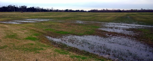
The photos do not do it justice, so here is a video I made while there. Still, your best experience will be visiting the battlefield.
The other views from the British perspective are superb and worth the trek. For example, here is a view from the British center, roughly 460 yards from the American line. We are able to get an idea where the American line is due to the visitor center and monument. However, the ramparts are difficult to see. Smoke from the guns would have obstructed the defenses as well.
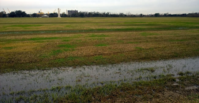
On the north end of the battlefield, 40 yards from the American line, is where British General Edward Pakenham tried to rally his men, but lost a horse and was shot twice, the second one mortally. You can see the ramparts much clearer from this spot.
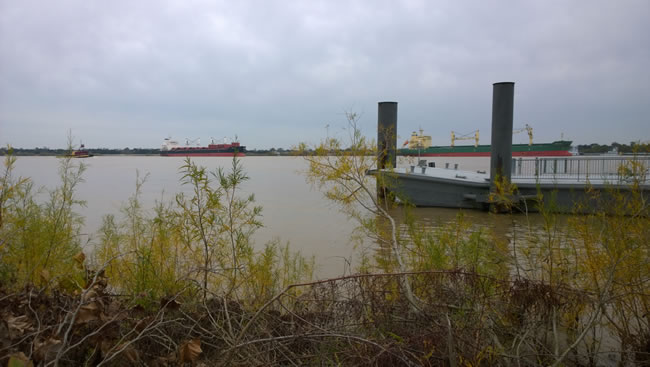
Finally, for the off the beaten path experience, you will need to do some walking toward the Mississippi River to get a view of where the American defenses were on the other side of the river.
There, some 1,000 Kentucky and Louisiana militiamen defended another rampart and lost it well after the fighting had ended on Chalmette. Unfortunately, it is all developed over now.
If you visit on a day other than Sunday or Monday, you are likely to check out the visitor center.
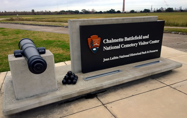
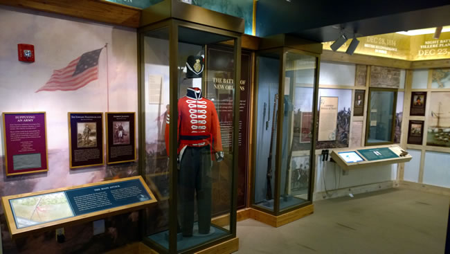
It is brand new and focuses almost exclusively on the campaign and its participants with little other details about the war or historiography of the battle. Still the exhibits include some superb videos, maps, and relics.
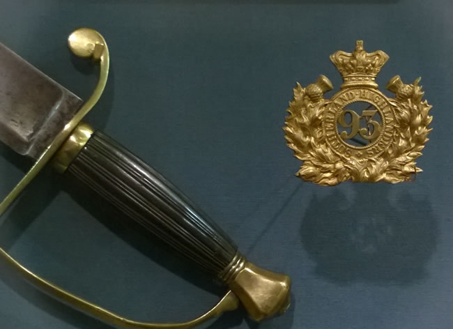
One of the relics includes a 93rd Highlander badge.
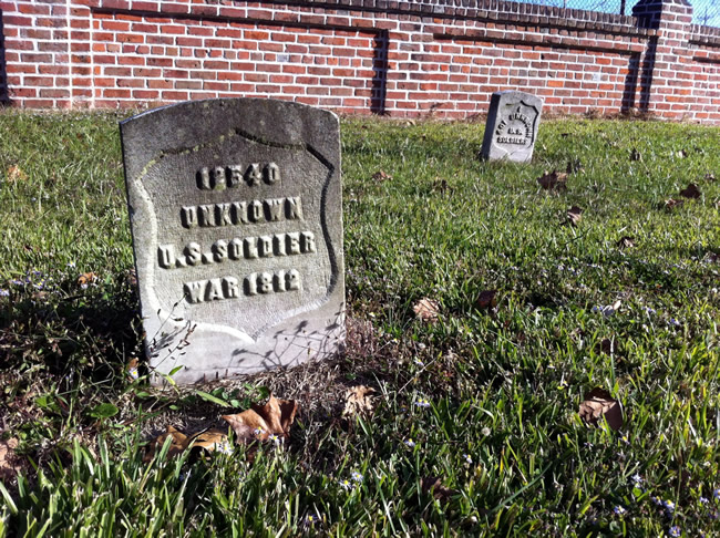
Outside of the fighting, there is there Chalmette National Cemetery, established in 1864. It includes over 15,000 veterans of American wars. Here, you can actually see the grave of an unknown soldier who fought at Chalmette.
Chalmette is a seemingly straightforward battlefield and it is often likely to fall victim to the “it’s just a field” syndrome. However, if visitors take the time to walk the field, there is a rich story to gleam from the experience.

